
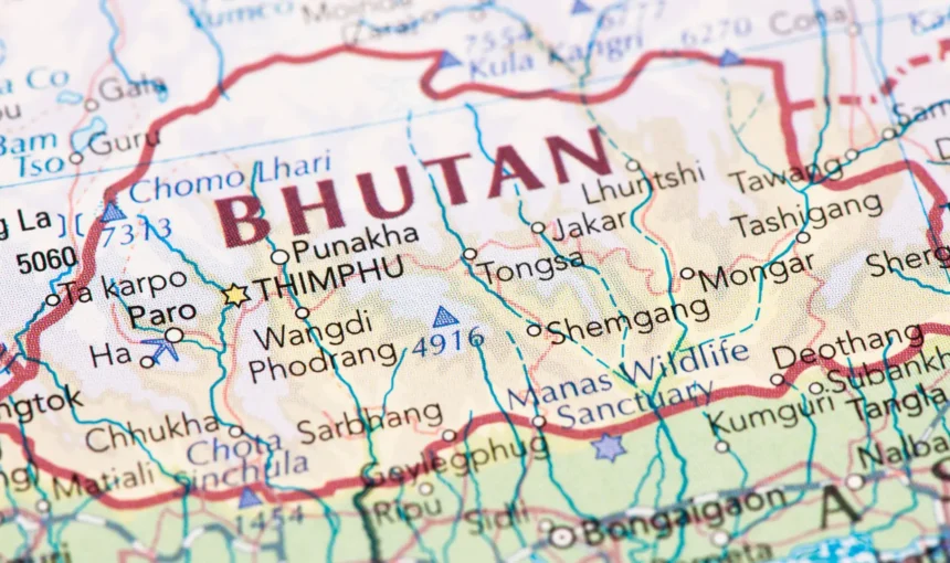
The kingdom of Bhutan is a small landlocked country in South Asia with a total area of 47000 sq. km. It is comprised of about 300 km in length and 150 km in width. Bhutan shares its borders with India and China.
Bhutan’s border with China covers 470 km in the north and northeast, while approximately 605 km of surface is allocated in the south with the Indian states of Arunachal Pradesh, Assam, West Bengal, and Sikkim. The close neighbors of Bhutan include Nepal to the west, Bangladesh to the south, and Myanmar to the southeast.
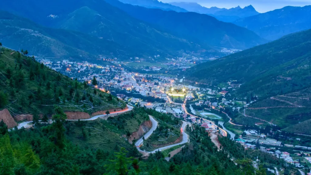
The coordinates of the country on the world map are at a longitude of 88045’ and 92010’ east and the latitudes of 26040’ and 28015’ north. The capital of the country is Thimphu, which is also the economic hub of the country.
The mountainous land of Bhutan rises abruptly from the subtropical lowlands of the gigantic plain of northern India. The snowcapped Himalayan range dominates the northern part of the country. The extreme southern strip of the nation contains the Himalayan subtropical broadleaf forests.
The southward spurs consist of the inner Himalayas. The black mountains, which are in the central region of Bhutan, are between two rivers: the Amochu and the Dramedchu. The southern part is known as Duras, and it is the plain land with quite an even geography. The lesser Himalayas occupy the northern Duras region.
About 26 percent of the entire land is designated and protected as National parks and sanctuaries. The land of the thunder dragon is a trekker’s paradise, and the glorious beauty of the kingdom lures numerous tourists who visit this heavenly place.
Bhutan is further divided into 20 Dzongkhags (districts), and the Dzongkhags are subdivided into 205 Gewogs (village blocks). The village blocks are further divided into numerous Thromdes (municipalities). Some of the important places of Bhutan are Paro, Thimphu, Punakha, Gangtey, Gasa, Trongsa, Jakar, Lhuntse, Samdrup, Haa Valley, etc.